

Zoning analysis and parcel feasibility for any lot.
Speed up zoning research, find the right parcel, and discover development opportunity earlier — before you spend on drawings, bids, or due diligence.
Height, floor area, setbacks, and unused capacity: the ceiling before you draw or bid.
Why Zonyard
Three jobs. One workspace for zoning and parcels.
We built Zonyard for people who need answers before they commit capital or design hours—homeowners, architects, investors, and operators who cannot afford slow or fuzzy zoning research.
Speed up zoning research
Stop digging through ordinances, assessor files, and GIS portals one tab at a time. Zonyard puts district rules, overlays, lot facts, and permit friction on the parcel so diligence starts in minutes—not days.
Find the right parcel
Filter and compare by zone, size, unused capacity, and constraints. Whether you need one address or a shortlist that matches your rules, you land on sites that actually fit—not just listings that look available.
Discover opportunity early
See unused GFA, underbuilt signal, and upside before the market prices it in. Catch addition, ADU, reuse, and redevelopment angles while you still have time to underwrite, option, or walk away.
Workspace in motion
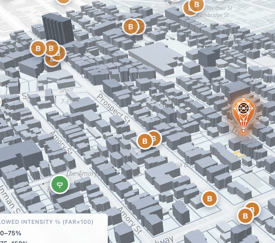
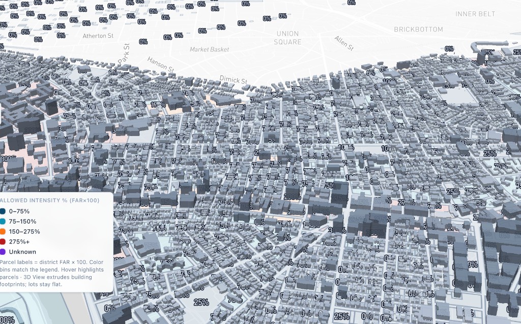
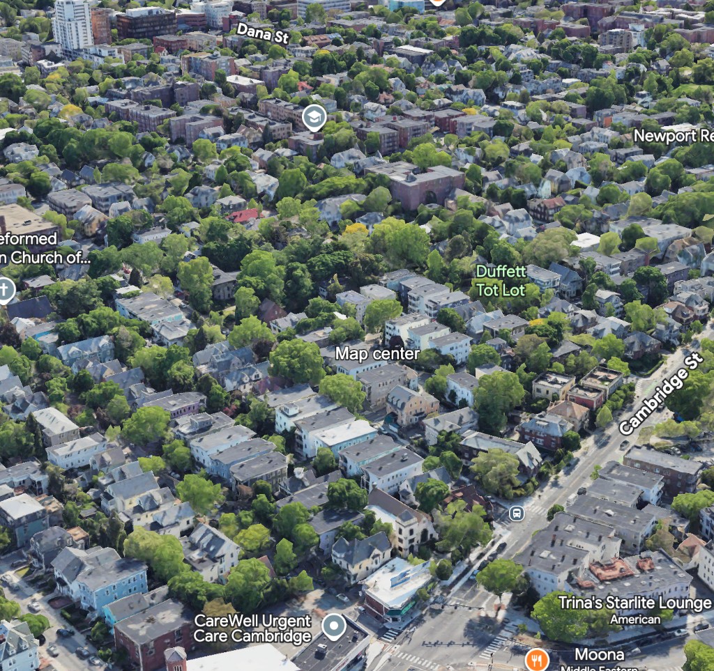
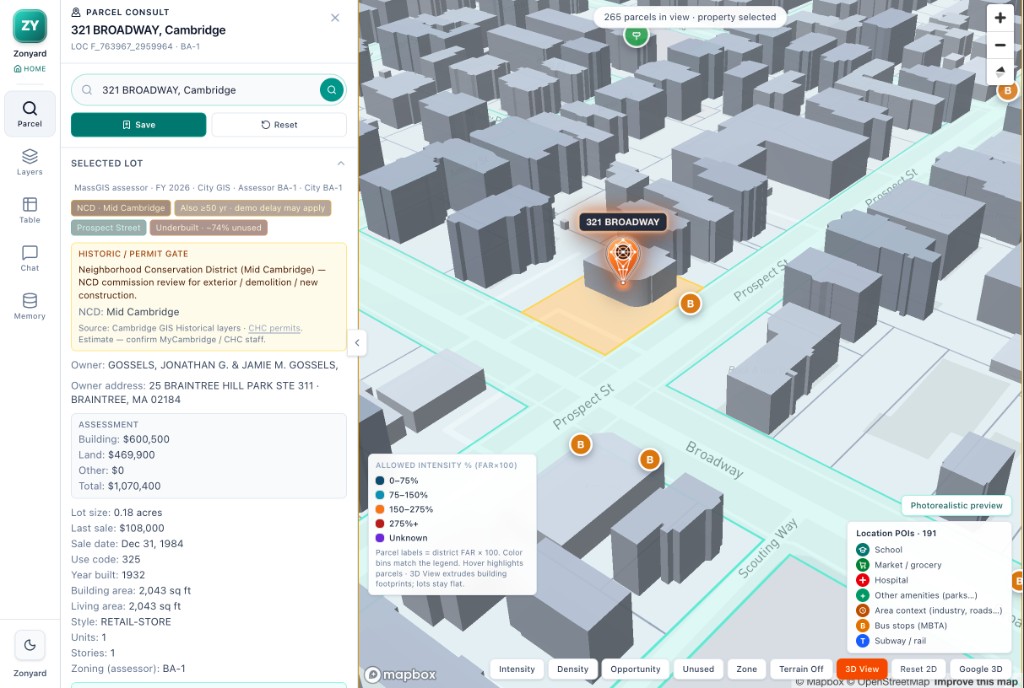
Live Cambridge maps, pins, and parcel context

From home additions to full redevelopment
Zonyard answers the questions that matter. Can you expand, add a second unit, split a lot, convert a building, or build denser? See what the code allows and what upside remains, on one screen.
Cambridge live map
3D bird-fly · Unused / Zone
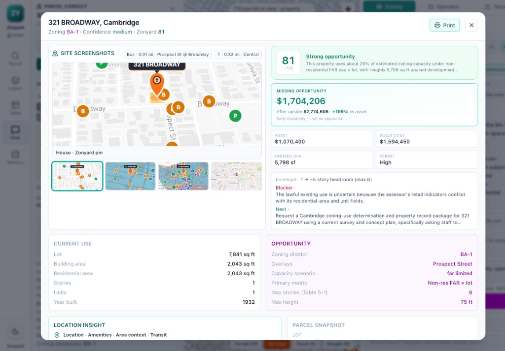
From address to defensible thesis in minutes.
Every Zonyard report translates municipal code into a structured feasibility model — envelope, incentives, and upside on one page.
- Zoning + overlaysDistrict, overlays, and permit gates.
- Buildable envelopeSetbacks, FAR, height, parking.
- Legal + incentivesHTC, density bonus, inclusionary.
- Opportunity mathUnused GFA and missing opportunity value.
From one backyard lot to a whole pipeline of sites.
Every Friday, 12:00 PM ET
Cambridge Weekly
A new brief each week: what changed in the Cambridge parcel and zoning data, a rotating redevelopment theme, and zip-code level investment analysis built from the assessing roll.
Newsletter
Product news, live opportunities, and zoning updates for the addresses you follow.
Underwrite your next project with the code, not against it.
Start with any parcel. In minutes, see the highest and best use, the envelope, and every incentive on the table.